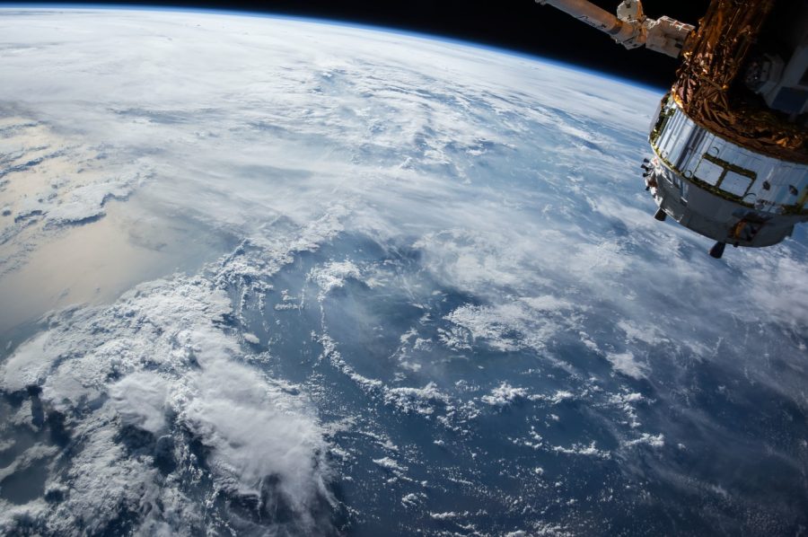
Satellite imagery technology is an incredible and ultra-futuristic invention – so much so that it can often seem like something straight out of a sci-fi movie, or perhaps even a James Bond film. With the proliferation in recent years of orbiting satellites placed in space by various agencies (NASA, the European Space Agency, etc), as well as advances in app technology, it is now possible to access the high-powered cameras that are currently pointing at the Earth.
High resolution images from orbiting satellites
These orbiting satellites can be utilized in numerous ways. They can be used, for example, to take high-resolution pictures of anywhere in the world – however remote its location. The invention of satellite imaging apps now means that anyone with access to the downloaded app software can use it to perform various functions pertaining to the orbiting satellites – such as seeing which satellites are over their current location, or using detailed map graphics to track a satellite’s location.
The most advanced exploration equipment is now an app!
Current HD satellite imagery software can be used to unlock the ultra-modern technology created by the most prestigious and scientifically-advanced space agencies in the world. This is really a pretty exciting thing, considering that all you need to do is register an account and download the software – and in the palm of your hands you’ll have access to some of the most advanced camera and exploration equipment ever created by mankind. The software is readily available online for download to your device – some of it for no charge whatsoever.
The incredible features of the satellite imaging app
In terms of the main specific features of satellite image app technology, it’s essentially built around two main things: the ability to use a satellite to take high-resolution images, and the ability to see which satellites are where in orbit around Earth. The second feature is obviously key to the first, as before you can use a satellite image app to take a picture, you’ll need to see which available satellites are in range of the particular place you would like to make an image of. This is where having access to the various registries and databases of satellites currently in orbit comes in. You use the satellite imaging app to choose a satellite near to the location of your choice, then use the app to manipulate that satellite into doing what you want. For the more paranoid among us, some satellite image app providers offer a service whereby users can track which satellite may be passing over their current location. So if you’re a Bond villain – or if you simply don’t like the thought of a pesky satellite tracking what you’re doing – you’ll be able to quickly run indoors and maintain your privacy. In terms of making images, satellites can be used to take pictures that are ultra-sharp, and on various different spectral bands.

Satellite imagery apps are an incredible creation, in some ways almost as incredible as the satellites themselves. In offering a service to ordinary people all over the globe, satellite imagery apps take the guy in the street, and give him access to some of the most awesome technology mankind has ever created.


 Your total news and information resource for all things Science, Technology, Engineering / Mathematics, Art, and Medicine / Health.
Leave a Comment